Edward Timothy Hooley was born on Oct. 3, 1812, on the high seas, his parents being at the time bound for Tasmania, where his father afterwards became overseer of a sheep station.
Mr. Hooley was a member of parties that made several exploration trips into the interior of the NW of Western Australia and it was eventually decided that the expedition should settle in the country around Nickol Bay and the Fortescue and Ashburton Rivers.
On the 16 April 1866 Edward left Perth for Champion Bay with Lockier Clere Burges (junior). They reached Champion Bay on the 3rd of May. Edward and Dr Bompass left Champion Bay on the 27th May 1866 with 1025 sheep (hooley) and 920 sheep (burges) making a total of 1945.
Summary
The map below has been laid out showing each days travel using 2 different colours. Clicking on the track line will load the days travel summary from his published journals.
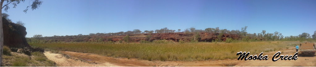
Hooley essentially followed Gregory's surveyed route from the Geraldine Mine on the Murchison River. One notable detour he made to shorten the route was to travel in a more northerly direction at where the Beringarra-Byro rd crosses the Murchison River. Something to note in his journal is the observation of semi permanent pools of water near Mt Augustas. Mistakenly some of these pools have been called Cattle Pool.
Edward Hooley did not actually get all his sheep to Nichol Bay, but only made it as far as the Fortescue River. Actually just a little bit west of the Fortescue River Roadhouse. Upon reaching here he rode to Nicol Bay and bought extra help to the camp. Then Hooley and Burges moved their sheep from that camp to Nicol Bay.
Hooley then retraced his track back to Champion Bay. He is credited with finding the route from the Lyons River to the Ashburton. This tributary became known as the Henry River. It was found to later be unsuitable due to the rocky nature of the river bed. The gazetted stock route followed a more accessable route.
Upon his return to Champion Bay, Hooley aquired a piece of land that became known as Minderoo Station. He then followed the same route except when he came to the junction of the Landor River and Gascoyne River, instead of heading north east as on his previous trek he followed the Gascoyne River (Gregorys return track) till he hit the what he named Morrisey Creek.
He then followed the Morrisey Creek and then veered along another creek following a north westerly direction. He named this creek the Durlacher after the Resident Magistrate in Geraldton. The Durlacher Creek is a tributary of the Lyons River and enters not far from the fork created by the Alma and Lyons Rivers.
Using a names database and GIS software reveals that the above deviation was the preferred route rather than the northerly track above Mt Augustas. It is common for the person who dug the well to name the well and along the above deviation are the wells dug by Brockman, Withnell, Hooley Num8, Stockyard Well and Hooley Num7 wells. Some thing to also note is that the original position of Cattle Pool is where the Thirty One River, Gascoyne River and Morrisey Creek fork. There is a Cattle Well just south of the pool that lays in a Public Reserve 699 near Dinner Table Hill.